01
Lake Houston focus area
See the geography where land protection can create connected regional benefits.
Explore the Lake Houston watersheds, focus area, and partnerships that shape Bayou Land Conservancy’s regional work.
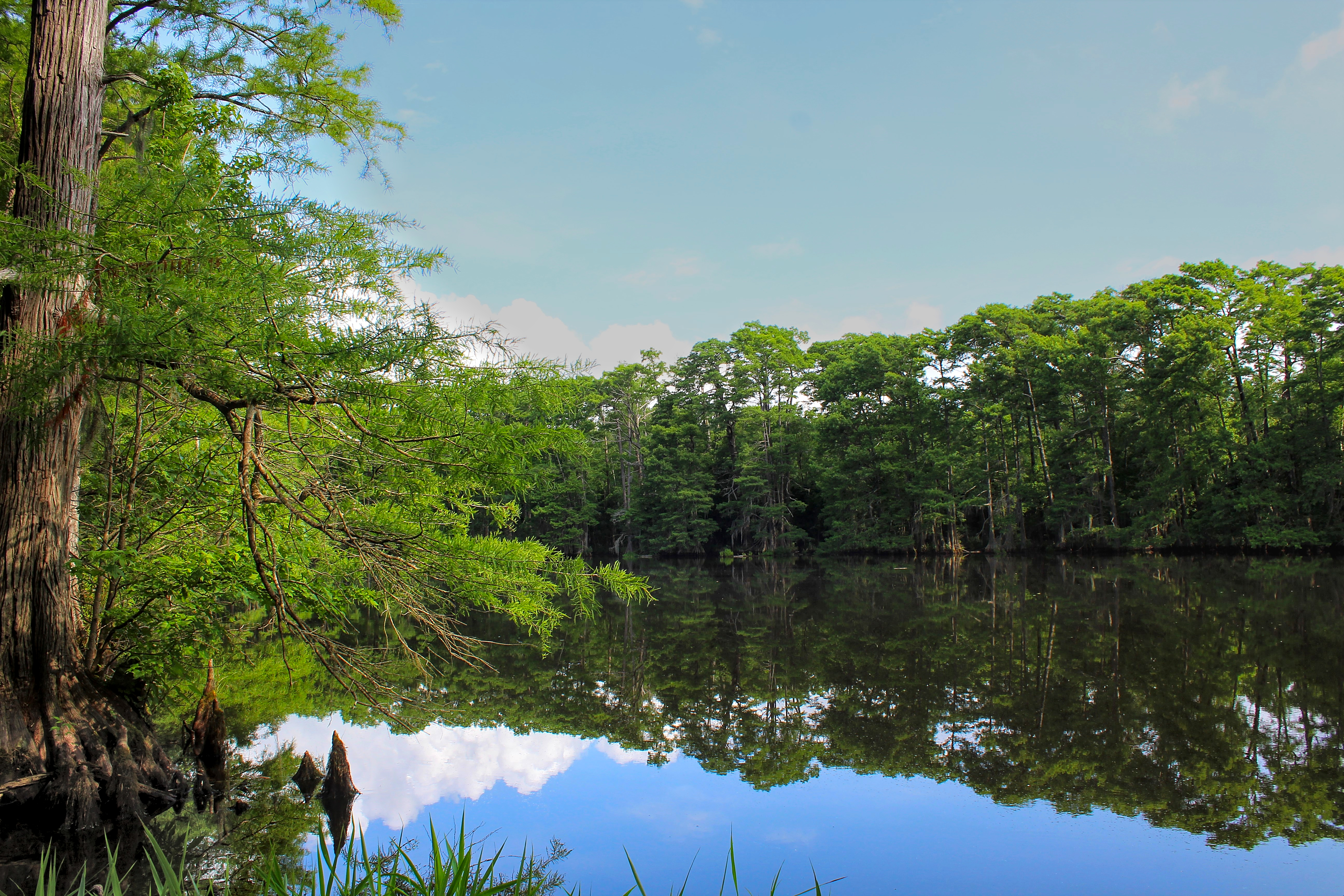
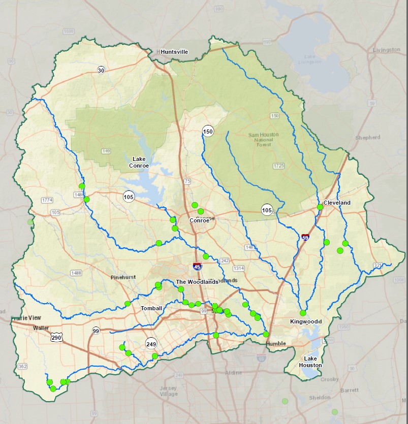
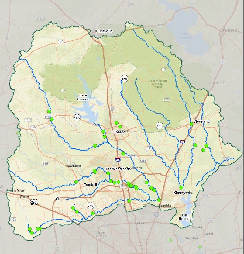
Bayou Land Conservancy works primarily within the watersheds that feed Lake Houston across northern Harris and Montgomery counties. Protecting these connected stream corridors supports water quality, habitat, and room for floodwaters to move.
See the geography where land protection can create connected regional benefits.
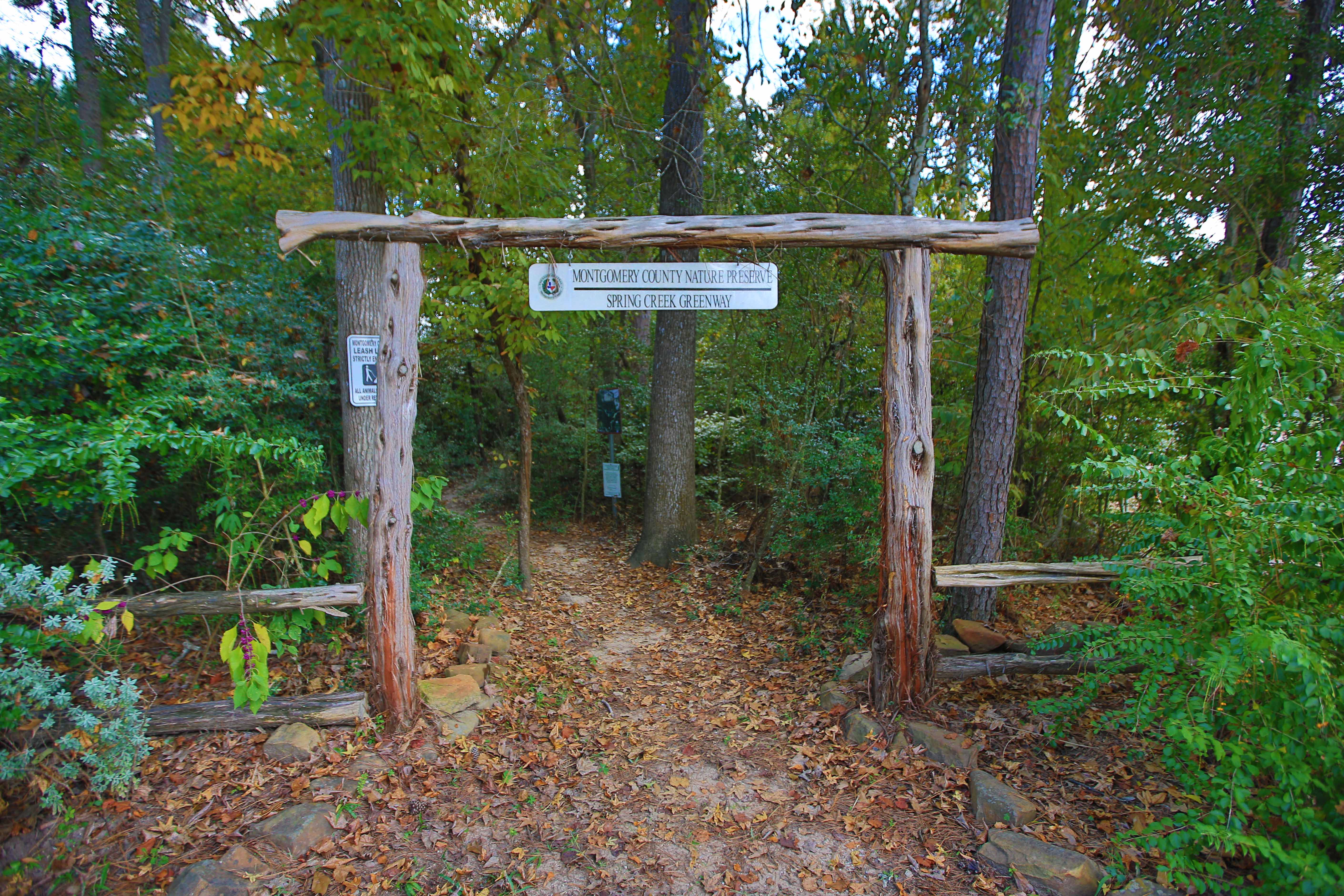
A long, forested corridor connecting preserves, public trails, communities, and partner work.
Explore the greenwayA partnership that follows freshwater from local headwaters through streams and bayous to Galveston Bay.
See the partnershipSwitch between the focus area, the water system, and the partner network. Every view keeps the explanation available as text—not only as a map.
The primary focus area includes watersheds feeding Lake Houston across northern Harris and Montgomery counties.
A watershed is an area of land draining to one place. Lake Conroe, Spring Creek, the San Jacinto River, Lake Creek, and smaller tributaries connect local land decisions to Lake Houston.
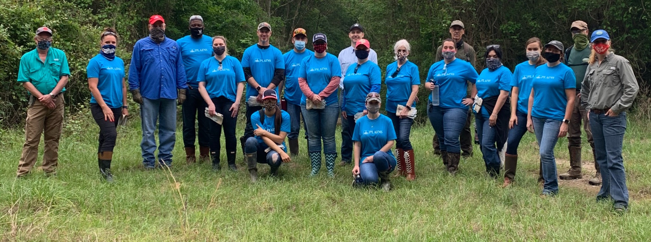
Landowners, counties, agencies, conservation organizations, volunteers, schools, and supporters each hold part of the long-term work.
Your support keeps land, water, wildlife, and long-term stewardship connected.
Discuss protecting land