Route 01
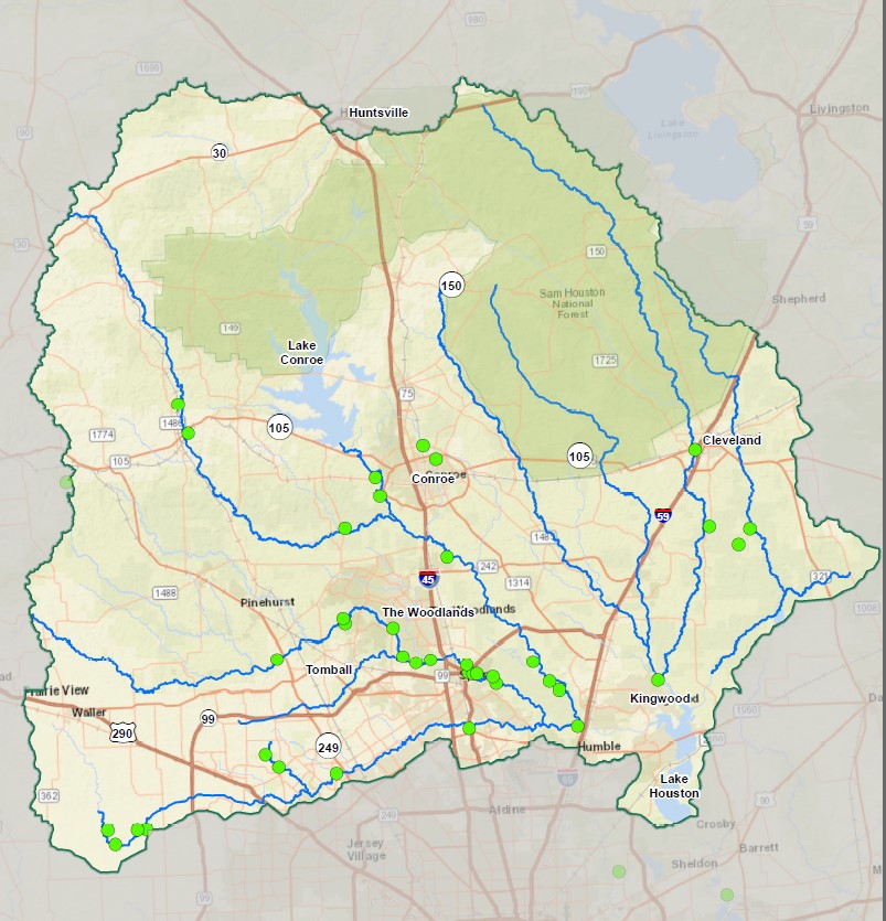
Where we work
See the Lake Houston watersheds, focus area, and regional relationships behind the work.
Land along streams gives water room to move, wildlife room to live, and communities more resilience. Bayou Land Conservancy works at the scale of connected watersheds.
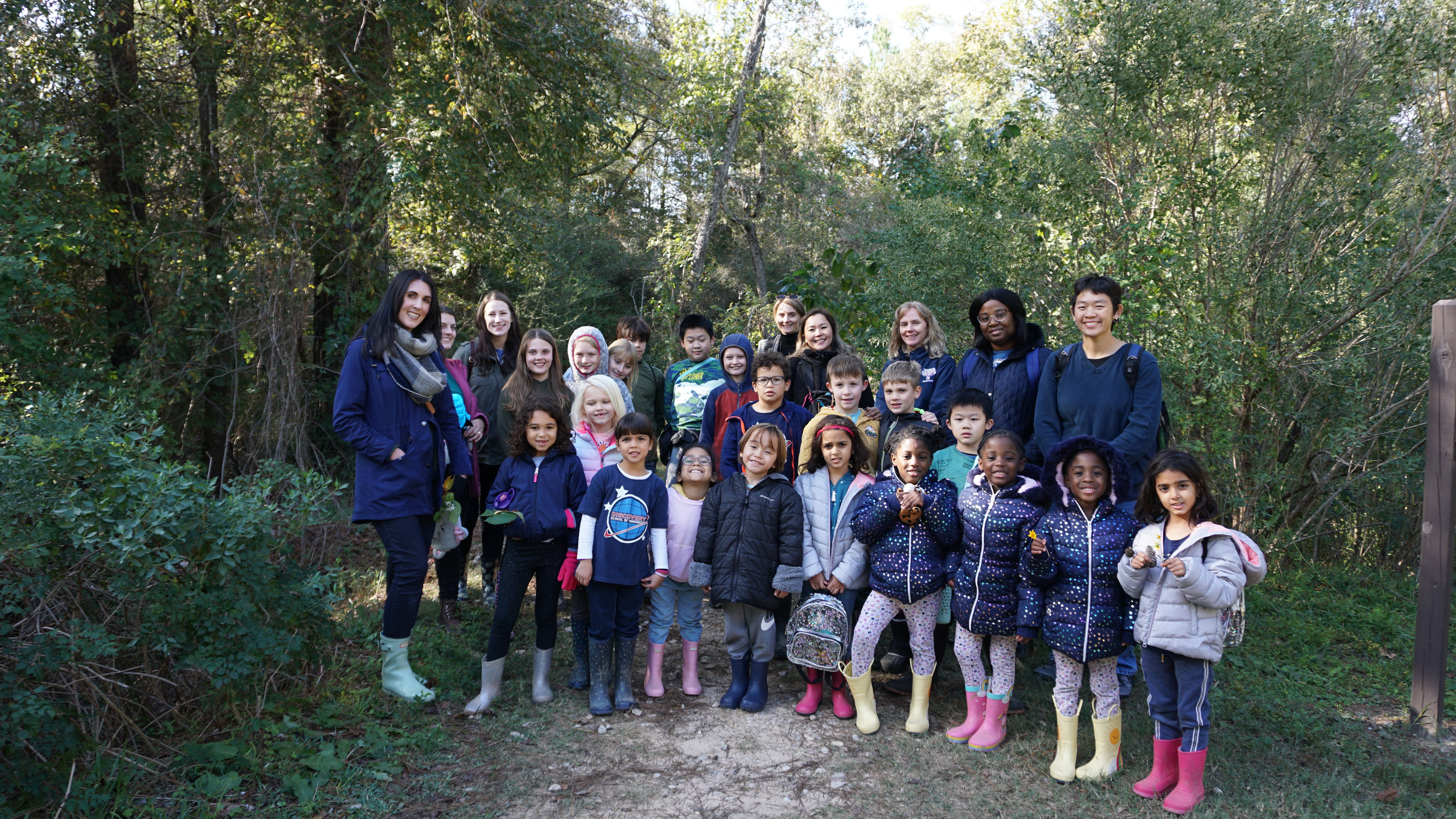
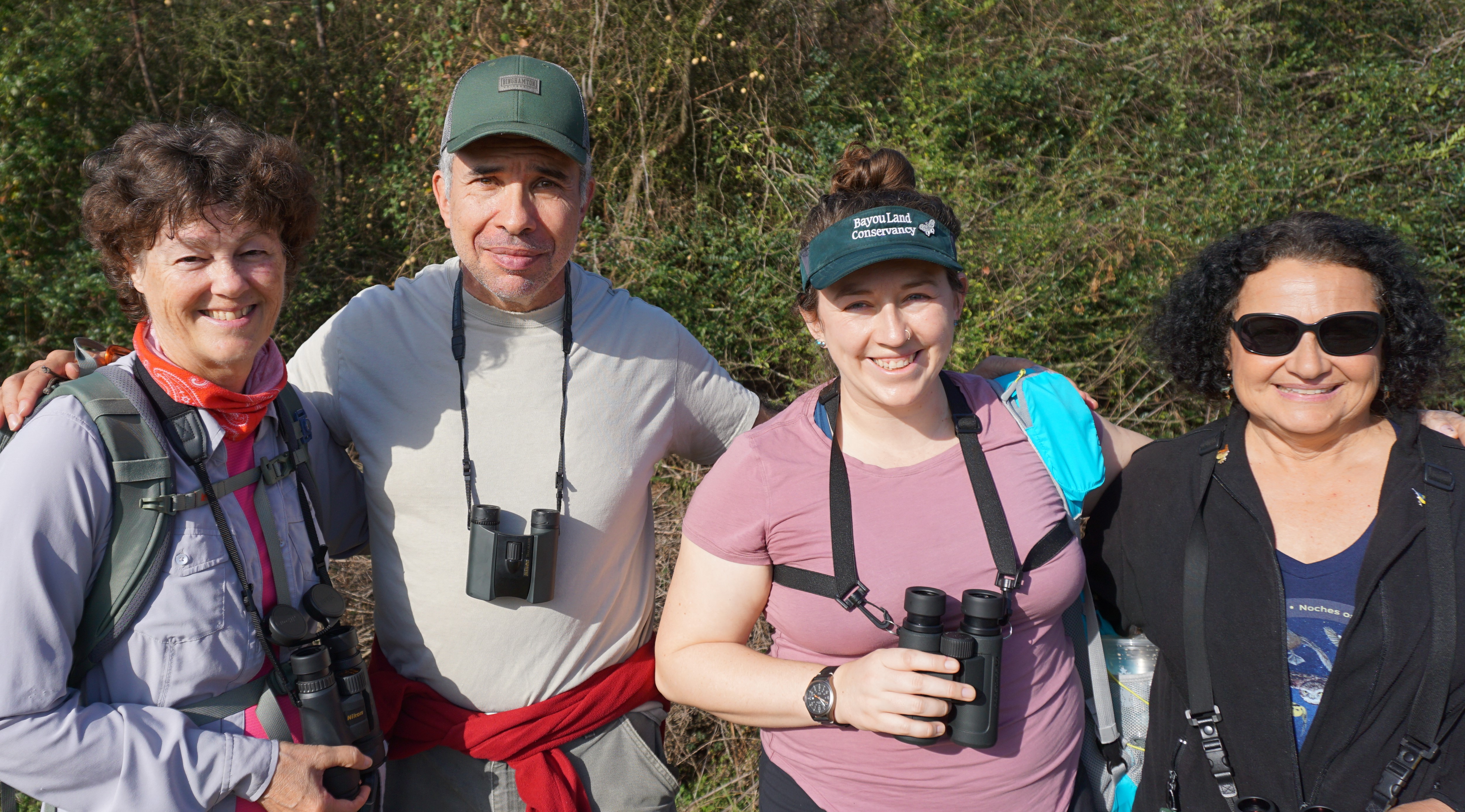
Bayou Land Conservancy preserves land along streams for flood control, clean water, and wildlife. The strongest projects protect more than an isolated place: they reinforce a living regional system.
These routes separate regional strategy, watershed geography, partnership work, and visitor planning so each audience can get to the right level of detail.
See the Lake Houston watersheds, focus area, and regional relationships behind the work.
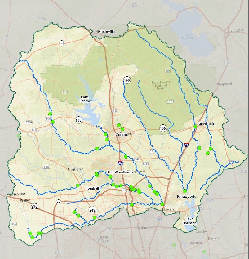
Read the framework connecting flood control, water quality, wildlife habitat, and stewardship.
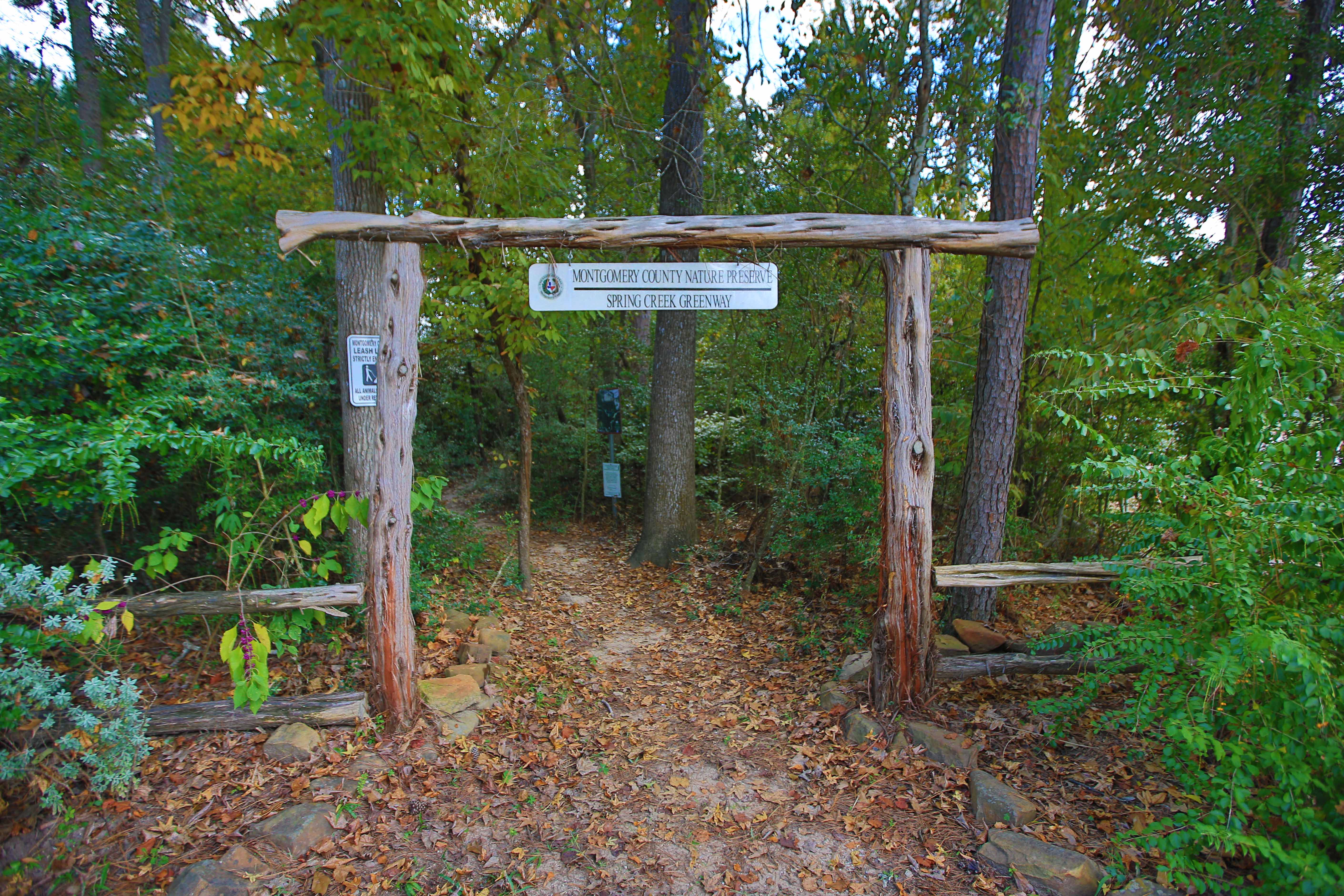
Understand the larger forested corridor connecting preserves, trails, partners, and communities.
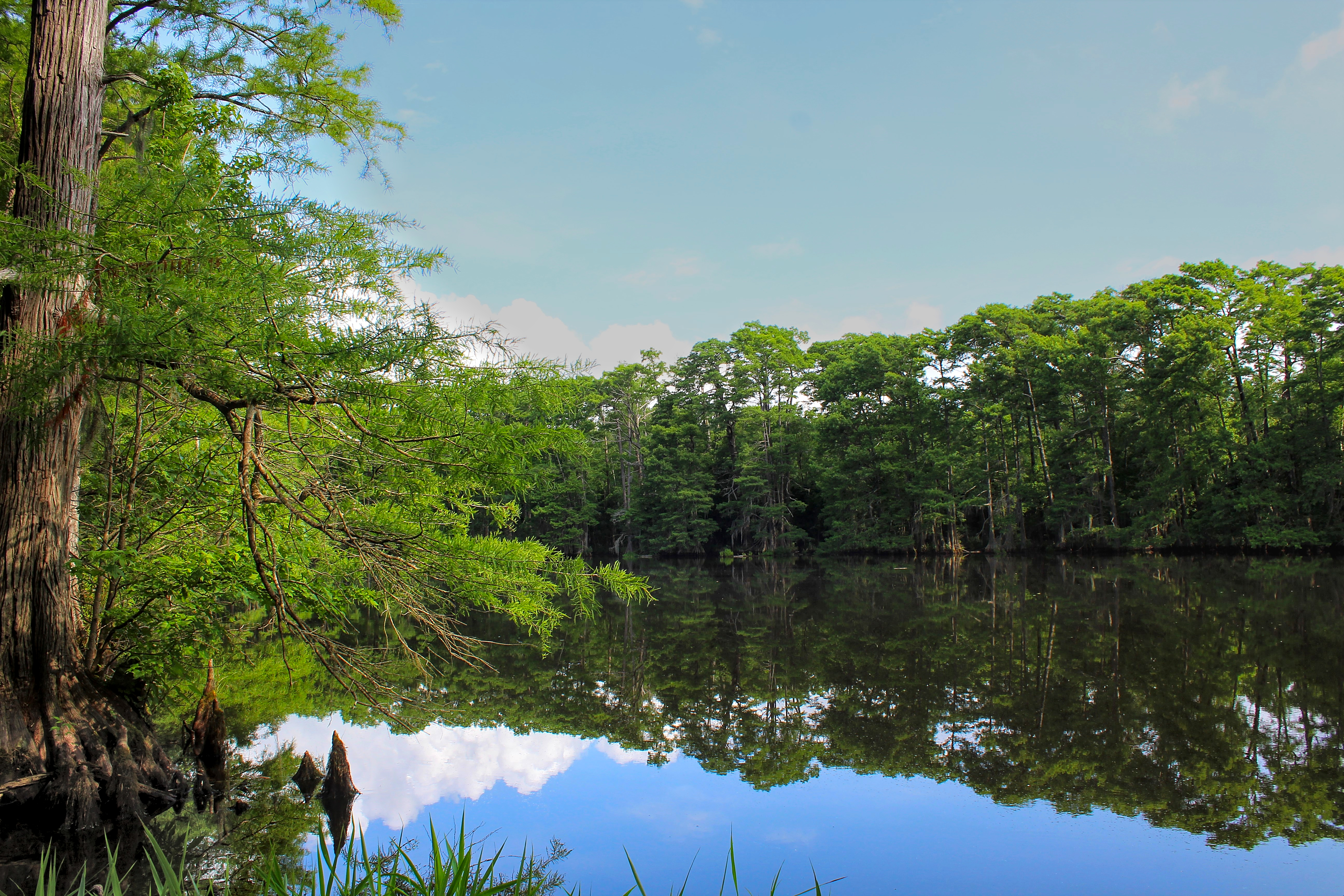
Follow freshwater across boundaries through a regional conservation partnership.
Start with the conservation options, process, and confidential inquiry path.
Protect your land