
Trail map
The production entry will pair an accessible interactive map with the approved PDF download.
A 14-mile natural-surface trail through forest, wetlands, and prairie along Spring Creek.
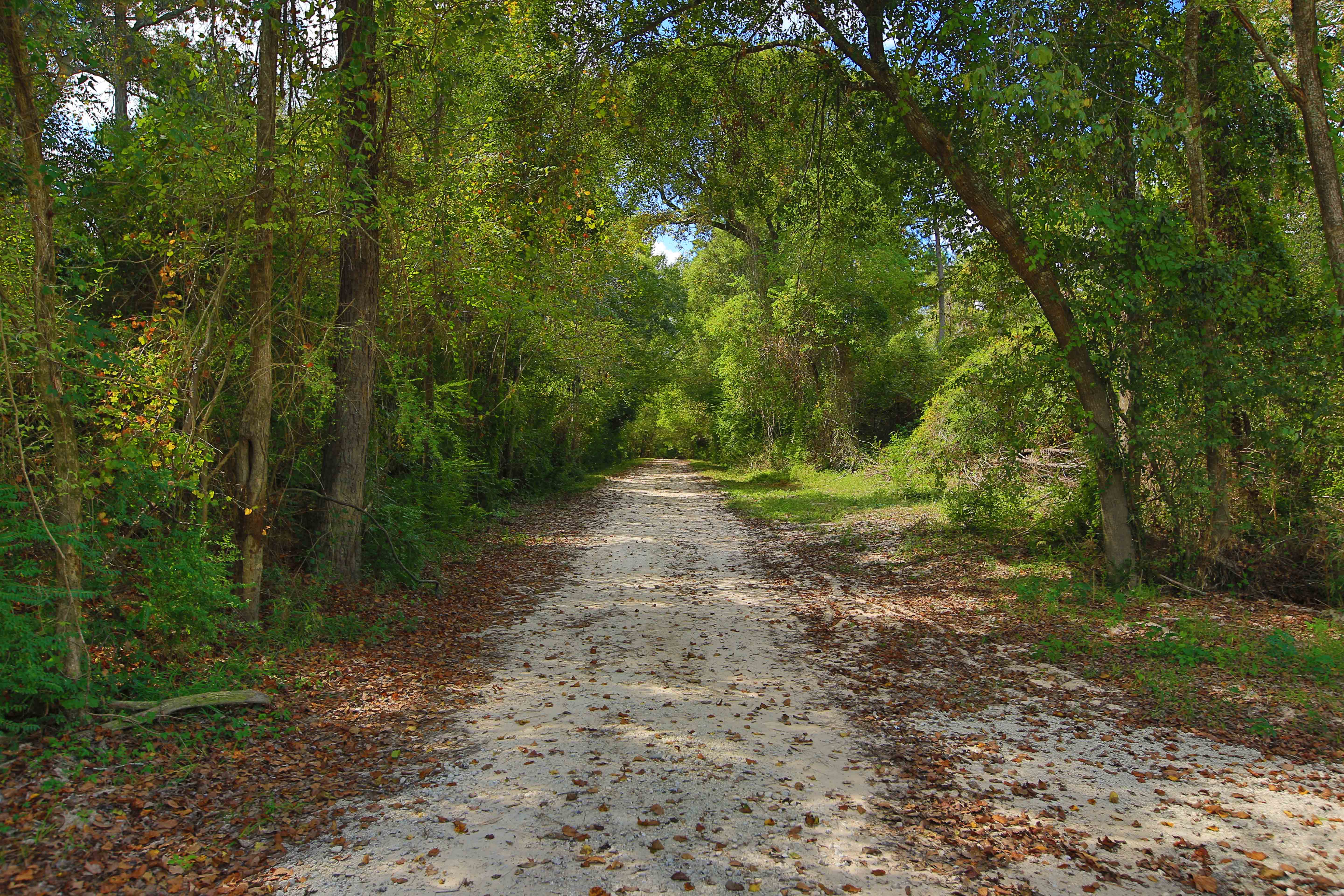
This production pattern keeps the practical information mobile visitors need at the top of every place page.
CMS fields will hold verified parking links, rules, accessibility details, closures, and emergency notices. This fixture does not invent directions or claim a site is open.
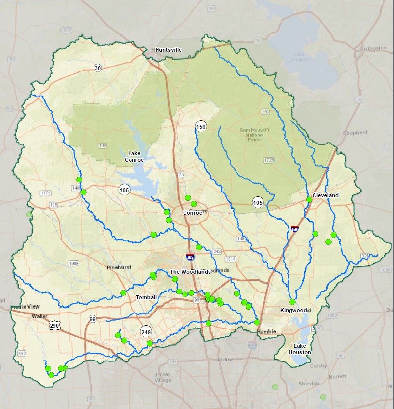
The Spring Creek Nature Trail is a flagship example of long-term volunteer trail building, public connection, and conservation along a living stream corridor.
Join trail stewardshipThe production entry will pair an accessible interactive map with the approved PDF download.
The TravelStorys experience will use a click-to-load facade with clear external-app context.
Trail supporters can connect to the verified plank order flow once its destination is confirmed.
Support permanent protection and the stewardship responsibilities that follow.
Support the work