
Parking
The source map places parking along Telge Road, just north of Spring Cypress Road. Confirm current access and lot conditions before traveling.
A conserved creek corridor that helps hold water, connect habitat, and protect regional character.
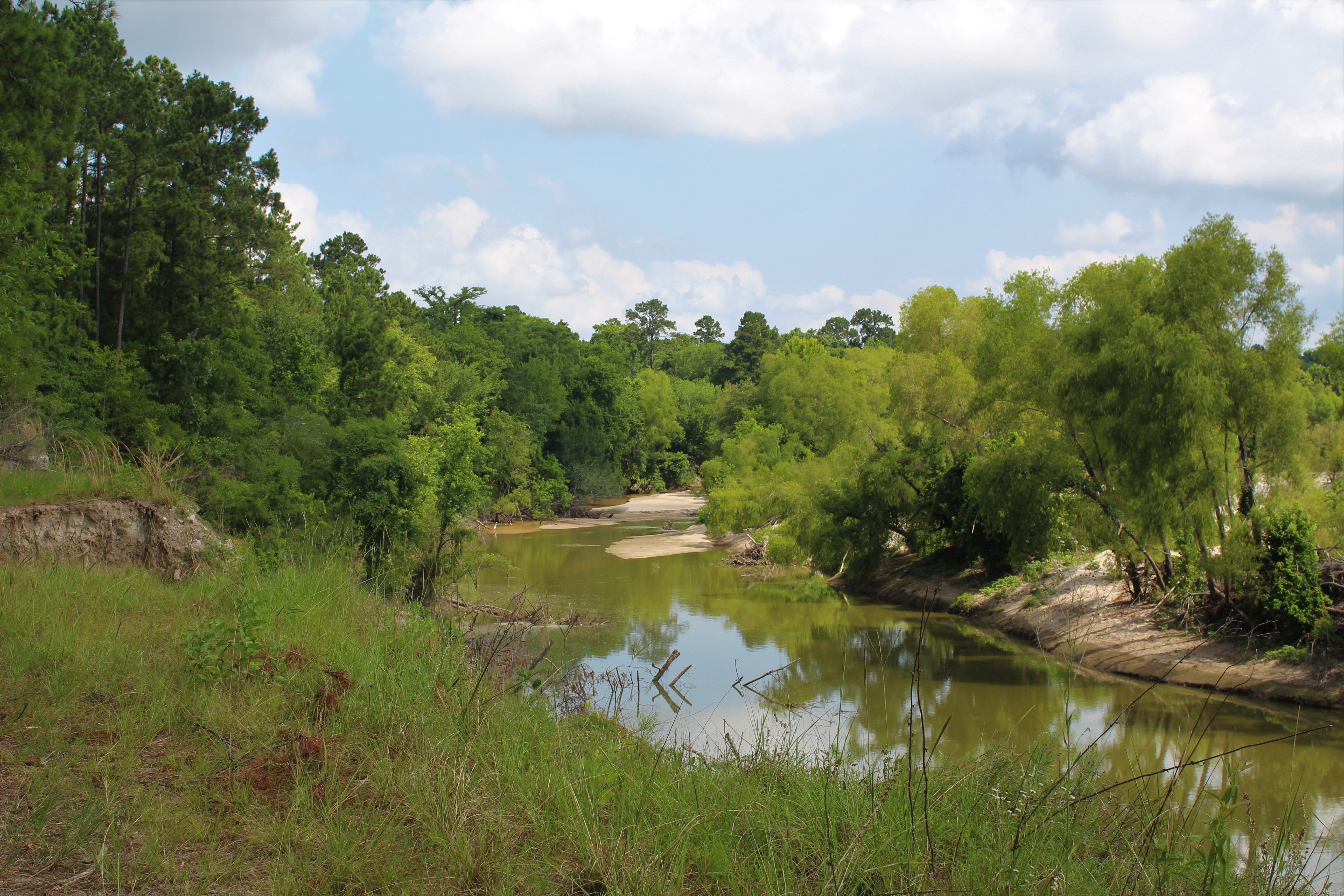
This property contributes to connected habitat, healthier stream corridors, and the permanent conservation fabric of the region.
Zoom in for detail, drag to move across the map, or choose a numbered point for an accessible description. This illustrated visitor map is not GPS navigation and is not to scale.
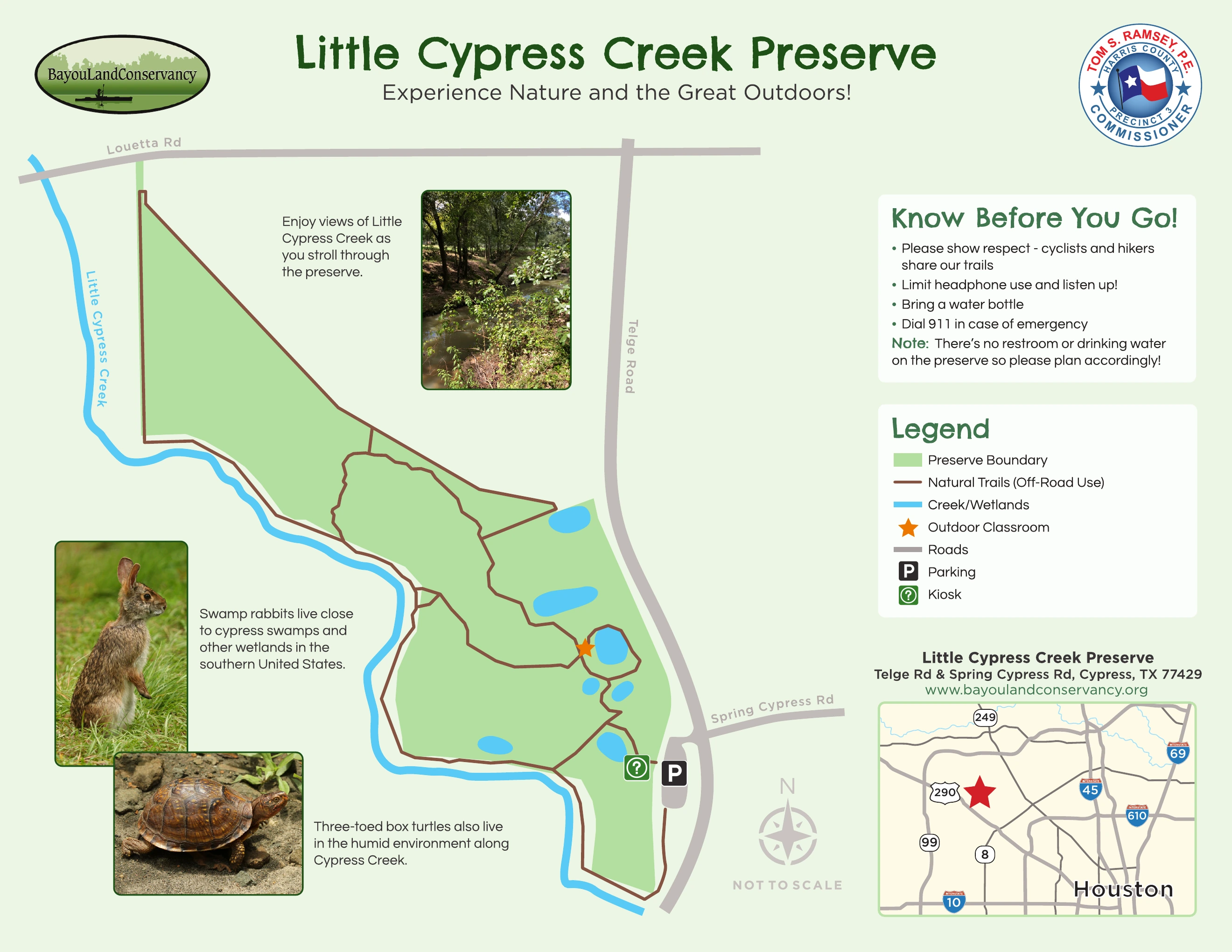
Use the zoom controls, then drag to pan. With the map focused, use + or - to zoom, arrow keys to pan, and 0 to reset.
The source map places parking along Telge Road, just north of Spring Cypress Road. Confirm current access and lot conditions before traveling.
Support permanent protection and the stewardship responsibilities that follow.
Support the work